


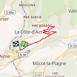

8.6 km | 12 km-effort


User


FREE GPS app for hiking
 SityTrail
IGN / Geographical institutes
SityTrail World
The world is yours!
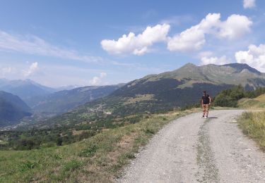
Trail Walking of 6.2 km to be discovered at Auvergne-Rhône-Alpes, Savoy, La Plagne-Tarentaise. This trail is proposed by gilsep.
Une promenade facile balisée en jaune à travers les vignes au-dessus d'Aime et jusqu'à La Sciaz.
Il faut prendre la route de la Côte d'Aime et s'engager dans le petit chemin droite.
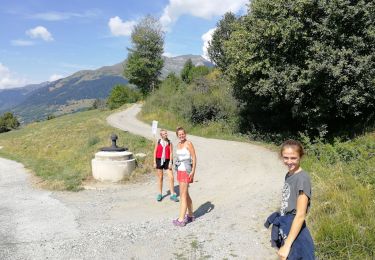
Walking

Walking

On foot
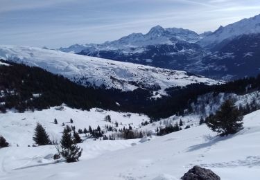
Touring skiing

Touring skiing

Walking

Snowshoes
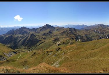
Walking
Walking